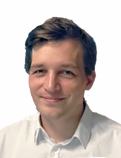
Prof. Dr.-Ing. habil. Ludwig Hoegner
Institute Director
Ludwig Hoegner has been appointed as Professor for GeoIT and Applied Geodesy. His main topics are photogrammetry, remote sensing and image processing. Research focuses on the generation and enhancement of 3D building models and city models from point clouds and imagery, as well as change detection, for example, of trees, river courses, landslides or rockfalls. Besides the usual sensors for multispectral cameras and laser scanners, one interest is the integration of thermal infrared data. Methodologically, he is concerned with semantic segmentation and object extraction. In addition to classical deterministic methods, he investigates the use of neural networks and in particular the problem of obtaining sufficient training data for multimodal datasets.
For more information, see the faculty profile page.