AI for aerial image analysis - it@M / LH Munich

The question was whether it is possible to use AI-based comparisons of aerial images from the past and present to show the development of certain topics in the cityscape, such as the size of green spaces, the size of sealed areas, the number of trees or the total area of solar panels on the roofs?
The process could be geographically scaled, and if applicable, applied to many different topics or objects. The information obtained could support urban development research.
A student team in the master course deep learning worked on solutions with the support of their teacher and staff from the InnovationLab of the IT-Referat, LH Munich.
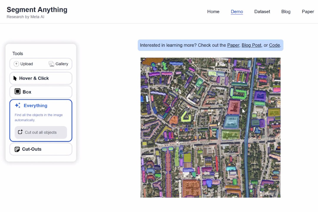
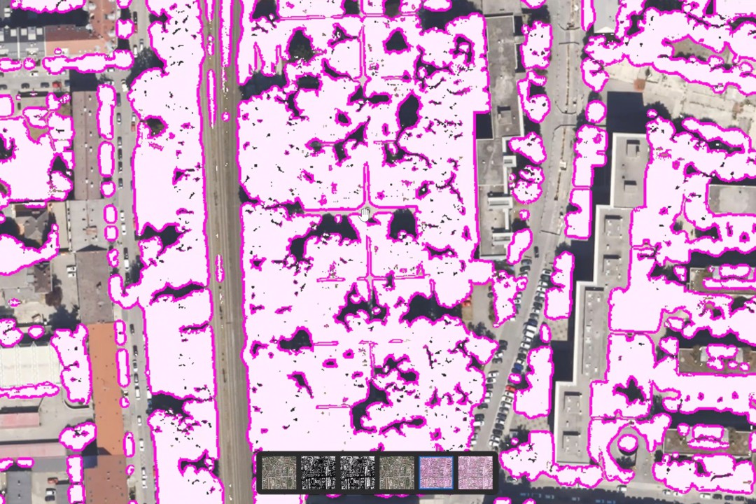
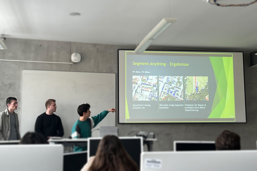
The students tested a total of four different approaches to segmenting green spaces: Image Processing, Segment Anything, U-Net, MMSegmentation. After careful evaluation, they found that the Image Processing approach, which uses green detection, and the Segment Anything approach were the most effective. They then created their own labeled dataset of Munich with selected aerial images. This allowed them to significantly improve the reliability of the model evaluation.
The segment anything approach and the image processing approach delivered similarly good results. The question arose as to whether a deep learning approach should be selected for binary recognition, which is significantly more computationally intensive than pure green value recognition. This raised the fundamental question of the direction in which the approach should be further developed. If the goal in the future was to remain exclusively the recognition of green areas, the image processing approach would probably be the better option. However, if a more versatile solution was required that would also be able to recognize other elements in the future, the Segment Anything approach with text prompts would be an option.
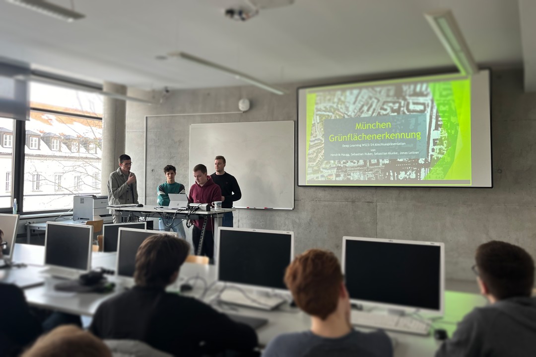
-> Final presentation "Green space recognition" (german)
-> Paper "Aerial image segmentation" (german)
-> Result images - created with the Anything segment approach
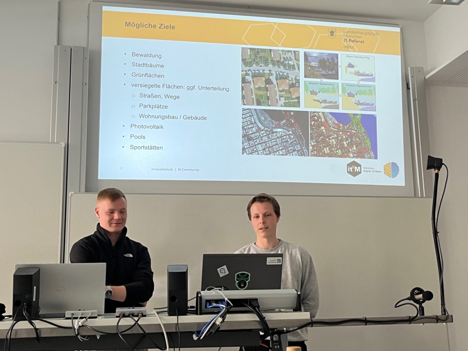
Semester: Wintersemester 2023/2024
Challenge Partner: Dr. Stefanie Lämmle, Fabian Reinold, Stefan Hentschel - InnovationLab, IT-Referat, LH München
Supervision: Prof. Dr. Markus Friedrich
Students: Hendrik Haugg, Sebastian Huber, Sebastian Kiunke, Jonas Leitner
Faculty: FK 7 Informatik