Requirements for digital geodata management - Rural Development Administration

What are the requirements for geodata management for land management projects from the perspective of rural development administrations?
How can trainees learn on geoinformation database systems without viewing or compromising sensitive data?
The Rural Development Administration is part of the Bavarian State Ministry of Food, Agriculture and Forestry. In Munich and at 6 other locations in Bavaria, trainees receive analog training, but should later be able to work with the internal IT systems for geoinformation.
Currently, extra dummies are created with a lot of effort, but this cannot be implemented for all programs.
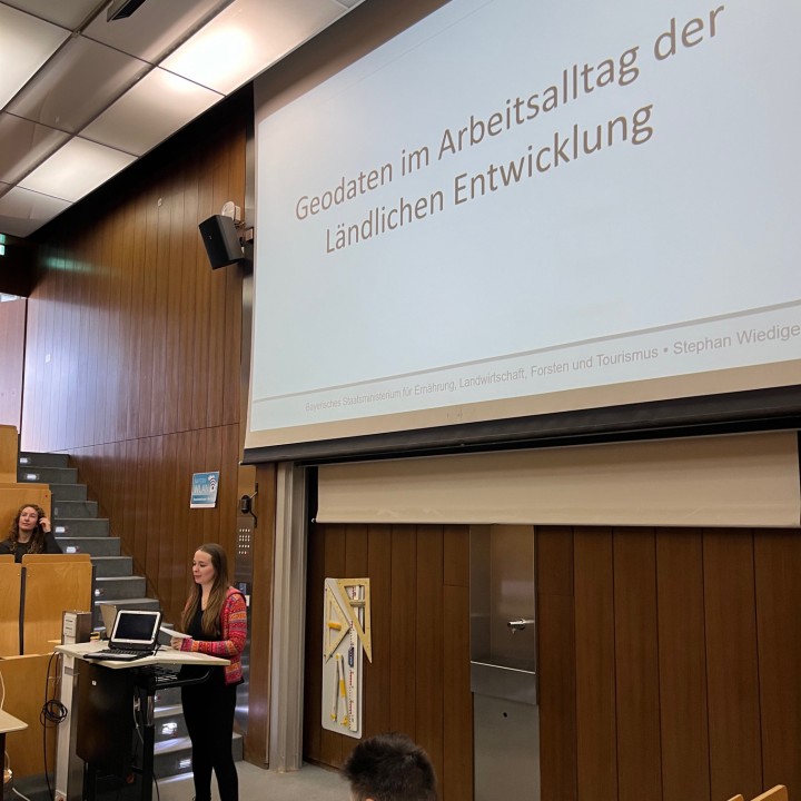
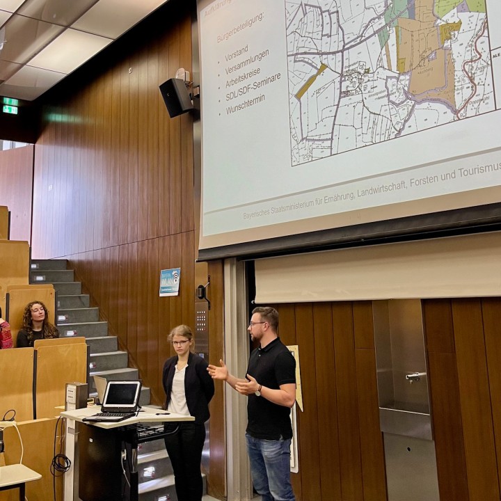
A team of young employees from the Rural Development Administration discussed the challenges and requirements of geodata management together with students from the Geoinformatics course.
In a further semester, specific requirements for software solutions for training purposes will be developed.
")
Semester: Wintersemester 2023/2024
Challenge Partner: Stephan Wiediger, Bayerisches Staatsministerium für Ernährung, Landwirtschaft und Forsten
Supervision: Prof. Dr. Joos, Prof. Dr. Hoegner
Faculty: Studienfakultät MUC.DAI - Geodata Science